On May 20th, an annular solar eclipse was visible across parts of the American
Southwest. An annular eclipse occurs when the moon passes directly in
front of the sun, but at a point in the moon's orbit when it is farthest
away from the Earth. Because of the perceived size of the moon
relative to the sun, the moon doesn't completely obscure the sun and a
ring of the solar disc is still visible around the edge of the moon.
Had the moon been closer to the Earth, a total solar eclipse would have
occurred.
 |
Maximum eclipse at Upper Calf Creek near Escalante, UT. My solar
glasses over the lens of my Cannon Powershot pocket camera worked
great!
|
 |
Moments before maximum annular eclipse - Upper Calf Creek near Escalante, UT
|
My
friend Paul had been wanting to visit Utah to do some hiking in canyon
country and we decided this past weekend would be a perfect weekend for
him to visit, check out some of the best locations in southern Utah, and
view the complete annular eclipse.
Our first destination was
Coral Pink Sand Dunes State Park, near the
town of Kanab, in far southern Utah. We arrived at the dunes late in
the afternoon and enjoyed walking around in the late afternoon
sunlight. The winds were strong and the dunes were in action as sand
blew up over the crests and fell like rain on the leeward side of the
dunes. I have been to several sand dune locations and while the dunes
weren't the largest I have seen, they were probably the prettiest. The
pink sand in the evening light was stunning and the surrounding
mountains made for some beautiful backdrops. The blowing sand, while
beautiful, was unkind to my old camera. An unexpected stop to purchase a
new pocket camera was our next destination.
 |
| Coral Pink Sand Dunes |
 |
| Coral Pink Sand Dunes at sunset |
 |
| Coral Pink Sand Dunes |
 |
| Coral Pink Sand Dunes |
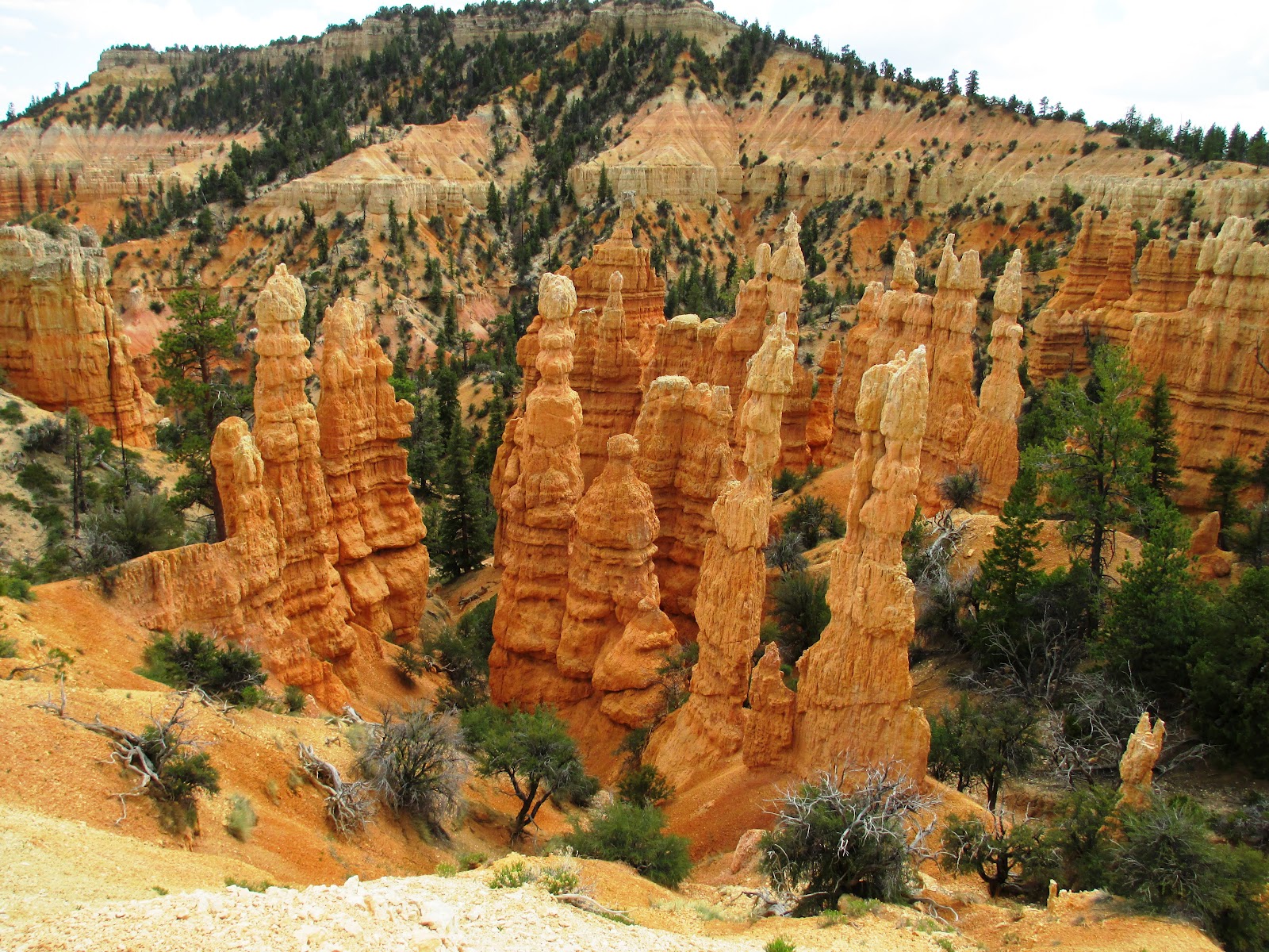
We decided to spend Friday at
Bryce Canyon National Park where Paul was a
guide about 15 years ago. We drove through
Zion National Park for some
quick pictures and scenic drive before heading north and east to Bryce
Canyon. The weather changed dramatically between Zion and Bryce and by
the time we arrived at the Fairyland Loop trail it was looking quite
stormy. Despite the looming rain clouds, we decided to descend into
Bryce and were battered by some strong winds, rain, and snow pellets for
about an hour before the weather started to clear. I have done most of
the main hikes in Bryce, but this was my first time on the Fairyland
Loop trail because it's the easiest one to miss. The trail head is
technically outside the fee zone of the national park, so it isn't as
well marked as the other viewpoints and trails within the main portion
of the park. It was nice to get a different perspective and enjoy some
views of the canyon that I haven't seen before.
 |
| Zion National Park |
 |
| A stormy hike into Bryce Canyon |
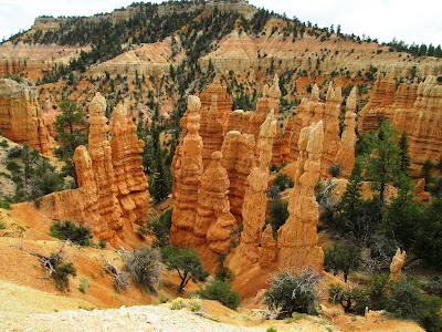 |
| Bryce Canyon from Fairyland Loop trail |
 |
Clear skies at the end of our hike
|
We camped in
Escalante Petrified Forest State Park on Friday night,
allowing us easy access to
Grand Staircase-Escalante National Monument
on Saturday and Sunday. We spent Saturday exploring some locations off
Hole-in-the-Rock Road, a 62 mile rough dirt road running south from the
town of Escalante to Lake Powell in extreme southern Utah. Seemingly
endless canyons cut down toward the east from the road, eventually
emptying into the Escalante River. Some of these canyons are quite
popular, such as Coyote Gulch, while other canyons offer varying levels
of canyoneering adventure. We decided to hike a loop through two of the
more spectacular slot canyons, Spooky and Peek-a-boo, near the Dry Fork
trail head area of Hole-in-the-Rock. Spooky was definitely the
narrowest slot canyon I have been through, with a few spots being only 1
foot wide. Even with my pack off and walking sideways, I manage to
scrape a little skin off my knees and elbows. Aside from being narrow,
Spooky was not particularly difficult to navigate and just a few spots
require some climbing maneuvers. Peek-a-boo was more open but had some
beautiful rock features within the slots. The exit out of Peek-a-boo
was step, but not as difficult as I had expected. The most difficult
part of the loop was the cross country section between the two canyons -
the trail was a little diffuse.
 |
| Ready to climb into Spooky Canyon |
 |
| Spooky Canyon |
 |
| Paul in Spooky Canyon |
 |
| A particularly narrow spot in Spooky Canyon |
 |
| Spooky Canyon |
We continued down Hole-in-the-Rock road and made it as far as Dance Hall
Rock, a beautiful slickrock amphitheater that the Mormon pioneers used
for music and dancing. We spent some time enjoying the vistas at Dance
Hall Rock before heading back to Escalante. We watched the sun set from
a viewpoint along Highway 12 and then headed back to Escalante
Petrified Forest State Park for our second night of camping in the area.
Sunday was eclipse day and our plan was to head east on the
Burr Trail to
Capitol Reef National Park, hike Upper Muley Twist Canyon, and
watch the eclipse from the top of the Burr Trail switchbacks that
descend into Strike Valley of Capitol Reef. The drive along the Burr
Trail is spectacular between the town of Boulder and Capitol Reef
National Park and we made a few stops along the way to enjoy the views
and check out some features near the road. When we arrived at the top
of the switchbacks, we were disappointed to see that the western horizon
was not as flat and visible as it needed to be to watch the eclipse.
Here in Utah, max eclipse occurred about an hour before sunset so a
clear view of the western horizon was critical. Paul wanted to watch
the eclipse from Strike Valley overlook, but neither of us were sure the
view would be any better. It was getting later in the afternoon so we
decided to check it out by driving the rough rough beyond the main trail
head of Upper Muley canyon to the parking area just below Strike Valley
overlook. The view of Strike Valley was spectacular and the entire
waterpocket fold was visible stretching north and south from our vantage
point, but the western horizon was not any more visible than at the
Burr Trail switchbacks. We made a last minute decision to head back to
Escalante and view the eclipse above the canyons of Calf Creek. We made
it to the trail head of Upper Creek Falls and walked along the rim of
the canyon until we found a perfect view to the west, overlooking the
canyons below.
 |
| Strike Valley |
 |
| Waterpocket fold of Capitol Reef |
 |
| Strike Valley Overlook |
Within an hour of our arrival at Calf Creek, the eclipse began with a
chunk of the lower right portion of the sun obscured by the moon. The
intensity of the sun dropped dramatically and the light felt more like
winter sunlight or the final minutes of a sunset as the moon covered
over 90% of the sun. We watched the eclipse with special solar viewing
glasses, and observed the changing patterns of light moving across the
canyons below us. I was surprised that the ring of light was nearly
uniform despite our location being a bit north of the main eclipse
path. It was also surprising how light it remained with so little of
the sun showing, although the few minutes of maximum eclipse were eerily
dim and the temperature drop was quite noticeable. The final treat was
watching a still partially eclipsed sun set over the western horizon.
Our decision to watch the eclipse from Calf Creek was fantastic and the
skies remained perfectly clear for the entire event.
 |
| Paul with his eclipse glasses |
 |
| Half hour into the eclipse at Upper Calf Creek |
 |
| About one hour into the eclipse |
 |
Maximum annular eclipse at Upper Calf Creek
|
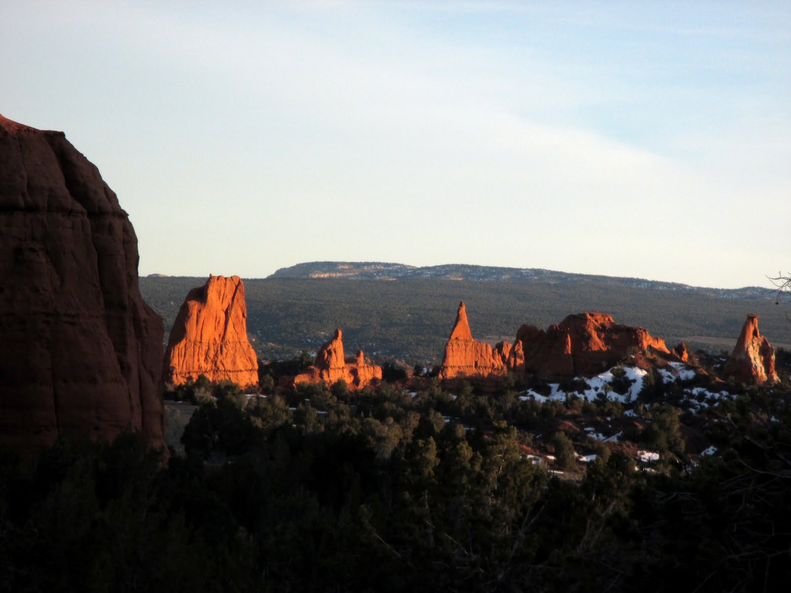
Before heading back to Salt Lake on Monday, we did a short hike in
Capitol Reef National Park. The Chimney Rock loop is a little outside
the main portion of the park, but the views were some of the best that I
have seen as the trail climbed to the top of a mesa and around some of
the red rock canyons draining into the Fremont River.
 |
| Capitol Reef National Park |
 |
| Capitol Reef National Park |