Showing posts with label Phoenix Arizona. Show all posts

Tuesday, January 17, 2017

Phoenix, Arizona - MLK Weekend - Biking and Hiking

After a week of frigid temperatures in Salt Lake City, it was time to return to Phoenix for more biking adventures with Roger.  The New Year holiday was cool and wet, but we had a fantastic time mountain biking and hiking in several of the regional parks surrounding Phoenix.  We had hoped to do some road biking for MLK weekend, but as so often happens with my trips to Arizona, another cold, wet storm was in the the forecast.  Despite the gloomy weather, I rented a mountain bike on Friday and we headed to the  Brown's Ranch Trailhead in McDowell Sonoran Preserve.

Biking from Brown's Ranch Trailhead in McDowell Sonoran Preserve


The mountain biking trails at McDowell Sonoran Preserve are incredibly fun to ride.  Few trails require any technical skill, and most are smooth, fast, and flowy.  The trails are very well marked, and each trail junction has a ID post to indicate your position on the map.  You don't need a route plan or advanced map skills to figure out where you are and where you want to go.  The desert scenery is great along all of the trails, so it's difficult to make any specific trail recommendations. We rode for several hours, from Brown's Ranch  to the Granite Mountain area, and managed to cover the majority of the trails in the network by mid afternoon.  The sun never came out, but we had a great day of biking.

Brown's Mountain
Biking down from Brown's Mountain


Biking at McDowell Sonoran Preserve
Taking a break on Hawknest Trail

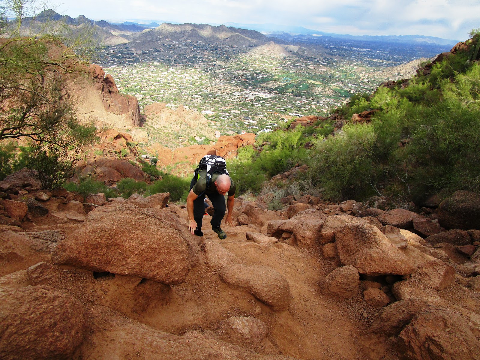
Between the rain showers on Saturday, we managed to hike Camelback Mountain from the Echo Canyon Trailhead.  It was a popular trail with a lot of people, but it certainly wasn't easy.  Several sections of the trail required the use of hands to climb, and a few spots had railings to assist with the climbing.  Despite the steepness, the trail was short, and before long, we were standing on top of the camel.  Camelback Mountain is a prominent feature in the Valley of the Sun, and I remember being fascinated by it when I first visited Phoenix as a kid.  It was fun to finally hike to the top!

Climbing up Camelback Mountain from Echo Canyon
Climbing up Camelback Mountain
Rainbow from the top of Camelback Mountain
Top of Camelback Mountain
A brief break of sun and blue sky on Camelback Mountain

On Sunday, despite the rain, we headed to Cave Creek Regional Park for a hike.  Like all of the regional parks in the Phoenix area, Cave Creek had a spacious campground, a visitor center, and numerous hiking and biking trails.  We decided to hike the Go John trail, a 5.8 mile loop through the northern part of the park.  The desert scenery was beautiful, despite the low clouds and occasional showers.  We had most of the trail to ourselves as very few people were out hiking or biking.

Low clouds hanging over Cave Creek Regional Park
Ocotillo leafing out

Hiking at Cave Creek Regional Park
Cave Creek Regional Park

Tuesday, January 3, 2017

Phoenix, Arizona - Mountain Biking and Hiking

After visiting with family in Massachusetts for the Christmas holiday, I headed down to Arizona to celebrate the New Year with Roger.  We had hoped for a long weekend of sunshine to camp at White Tank Mountain Regional Park, but the forecast was calling for a cold, wet storm to move through.  We decided to cancel our camping plans and try mountain biking instead, hoping for some decent weather to ride.  I flew down on Thursday night and we picked up my rental bike from Arizona Outback Adventures on Friday morning.  Our first ride of the day was at McDowell Sonoran Preserve, starting from the Granite Mountain Trailhead.  The weather was better than we had expected, with plentiful sunshine and mild temperatures.

Biking from the Granite Mountain trailhead in McDowell Sonoran Preserve
Bootlegger Trail
Bootlegger Trail

The trail network at McDowell Sonoran Preserve was very rideable, with plenty of smooth, flowy single track to make me very happy.  There were no technical sections that required walking, and the desert scenery was fantastic.  We made a loop of several trails, passing by landmarks such as Cathedral Rock and Balanced Rock.  After a few hours on riding, we decided to hit up the pool to enjoy the unanticipated sunshine before heading back out on the bikes.

Cathedral Rock
Cathedral Rock
Balanced Rock
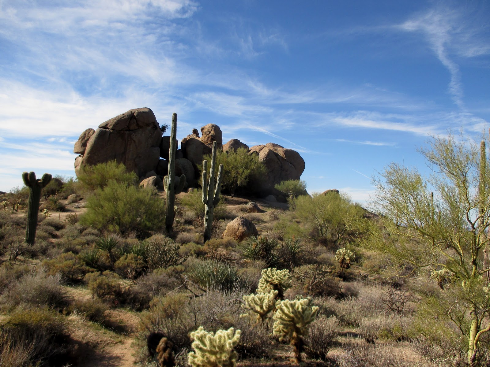
Large saguaro at McDowell Sonoran Preserve

We finished the day at Phoenix Sonoran Desert Preserve, riding several trails from the Apache Wash Trailhead, including the steep Ridgeback Trail and overlook. The first few sprinkles of the impending storm began to fall as we finished our ride.  Considering the stormy forecast, we were thankful to have had a full day of riding.

Last glimpses of sunlight for the day
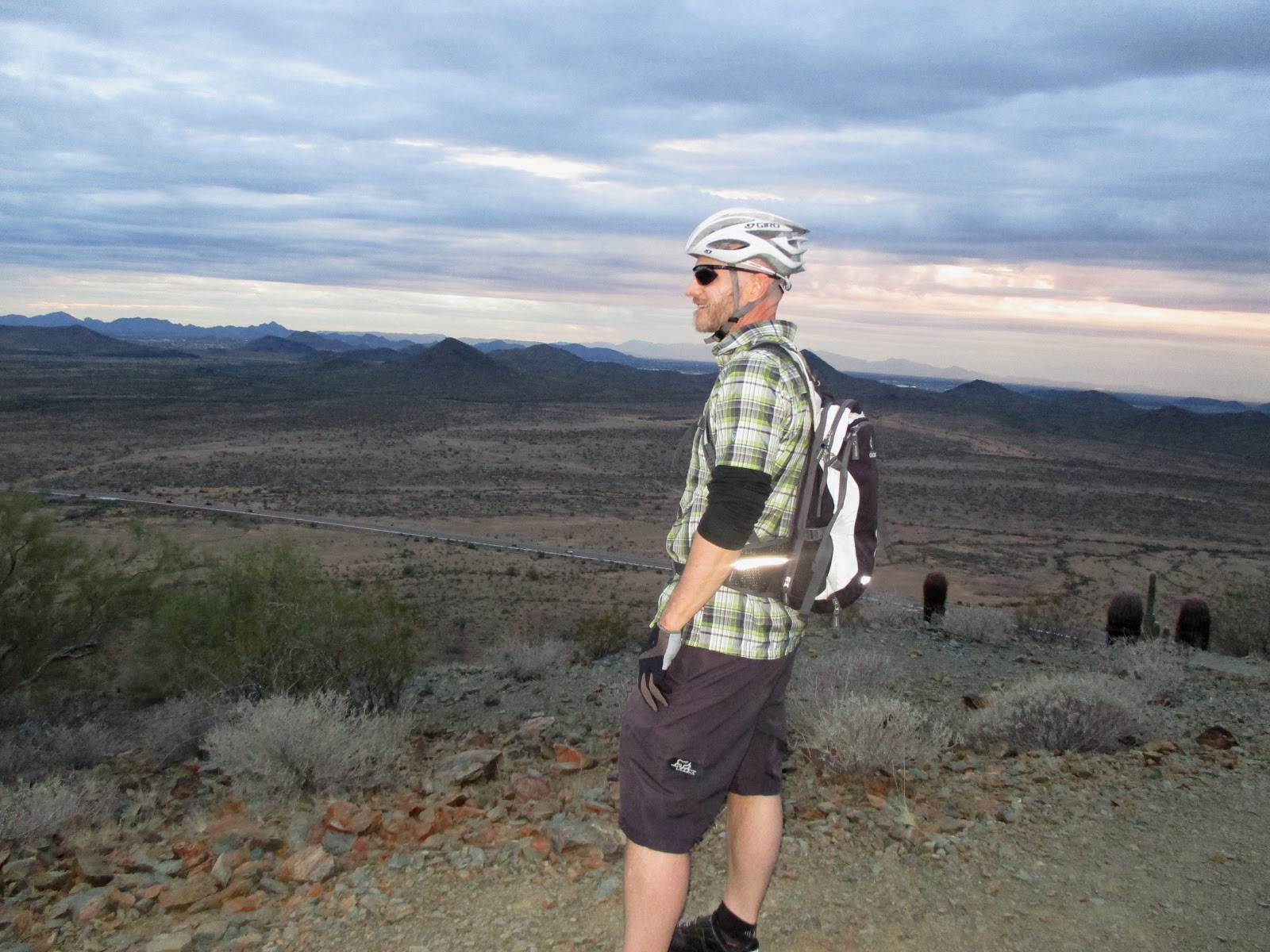
Roger enjoying the views at Ridgeback Overlook

New Year's Eve day was a rainy one in Phoenix.  We had planned to ride our bikes again, but the conditions were unfavorable all day with showers and low clouds.  Since the weather wasn't ideal for riding, we decided to hike for a few hours during the afternoon.  We headed over to Tom's Thumb Trailhead in McDowell Sonoran Preserve and began a 4 mile round trip hike to the famous landmark.  The trail was steep, and it wasn't long before the were hiking in the clouds.  A few breaks of sun, along with patches of fog, made for some dramatic views as we made our way to Tom's Thumb.

Along the trail to Tom's Thumb
Tom's Thumb in the fog

Tom's Thumb
Last sunset of 2016

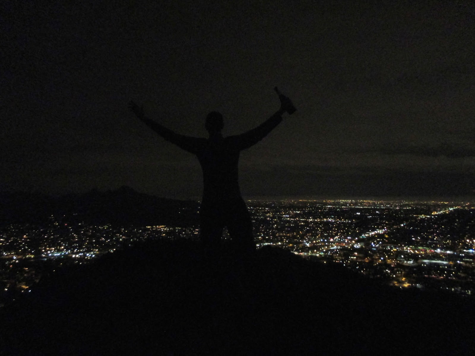
Roger decided that we should welcome the New Year on North Top peak in North Mountain Park.  It was the last hike of 2016, and it was perfect.  We started the steep climb to the summit around 11:40pm, quickly ascending the poorly paved road in darkness as views of the surrounding city became more spectacular.  Just before midnight, we found a viewpoint with panoramic views of the entire valley.  At midnight, we were treated to dozens of firework displays as the city celebrated the arrival of 2017.

Waiting for the New Year on North Top Peak
Welcome 2017

We decided to hike at White Tank Mountain Regional Park on New Year's Day since the weather continued to be too wet and stormy for mountain biking.  A few breaks of sun and a brilliant rainbow encouraged us, but the storm clouds returned by the time we reached the White Tanks.

New Year's Day rainbow

We had planned to camp at White Tank Mountain Regional Park for the New Year holiday, so it was great to explore the park despite our cancelled plans.  Our first hike was to Waterfall Canyon, a short and relatively easy trail that passed several petroglyph panels along the way.  Thanks to recent rainfall, the waterfall was flowing, and it was a popular destination for many families out on their first hikes of the year.

Petroglyphs along the trail to Waterfall Canyon
Petroglyphs

Waterfall Canyon

Leafy ocotillo

Despite the cool, cloudy weather, we decided to hike a portion of the Mesquite Canyon trail before heading back to Phoenix.  The trail took us up over a saddle, and then along a rocky wash containing numerous, water-filled potholes.  The White Tank Mountains are named after these pockets of water, a critical resource for animals during the warmer months.  As we finished our hike, the sky began to clear, and the surrounding mountains became illuminated with a warm glow.

Water in Mesquite Canyon
White Tank Mountains

With the sun finally shining, we spent Monday morning and early afternoon biking at McDowell Mountain Regional Park.  Starting from Tom's Thumb Trailhead, we rode a majority of the Pemberton Loop, along with some additional side trails.  Again, the trails were fast, flowy, and smooth, making for a fun day of riding.  I headed back to the airport later that evening, marking the end of a great Christmas and New Year holiday with family and friends.

Biking at McDowell Mountain Regional Park
McDowell Mountain Regional Park
Riding at McDowell Mountain Regional Park


Monday, October 19, 2015

Sedona and the Superstition Mountains, Arizona - Hiking

The primary reason for this trip to Arizona was to see one of Roger's favorite bands, Atl-J, perform in Phoenix on Wednesday night.  This meant the trip was a little more luxurious than previous trips to Arizona, with a hotel room instead of a tent, and some moderate day hikes when we weren't relaxing by the pool.  Our plan for Thursday was to head north to the tourist mecca of Sedona and hike one of the most popular hikes in the area, the West Fork of Oak Creek.

Sedona, AZ at sunset

Just north of Sedona, AZ

Sedona, AZ

We though we might be able to avoid the crowds by hiking on a Thursday morning, but the small parking lot at the West Fork trail head was completely full when we arrived, with several cars ahead of us waiting for other cars to leave.  We considered hiking another trail, but the parking areas we passed along the way were packed with cars as well.  We decided to wait, and it wasn't long before enough people left for us to park and begin our hike.  I was anticipating tons of people crowding the trail, but groups were spaced enough to make the hike enjoyable.  The leaves were just beginning to change, but there were a few patches of brilliant color below the towering red and white cliffs.

Some foliage along the trail

West Fork of Oak Creek

West Fork of Oak Creek

Beautiful canyon scenery


The trail crossed the West Fork of Oak Creek several times, but it was easy to avoid wet feet by hopping from rock to rock.  We made it to the end of the official trail, about 3.5 miles from the trail head, where the canyon becomes tunnel like, similar to the Subway of Zion National Park.  We continued upstream for a while, walking through the river bed and patches of dense brush, before eventually turning around so that we could finish the hike before dark.

 End of the official trail

West Fork of Oak Creek tunnel section

Roger trudging through the mud

West Fork of Oak Creek

West Fork of Oak Creek

Roger avoiding wet feet

The weather was stormy on Friday, so we spent the day in the community of Cave Creek exploring some interesting shops and galleries.  Later that night, we met up with one of Roger's friends for dinner.  The weather was better on Saturday morning, so we headed east to the Superstition Mountains to hike near Canyon Lake.  The road to Canyon Lake passed Lost Dutchman State Park, bringing back memories of our snowy New Year adventure that we had there.  The scenery was spectacular as we drove to Canyon Lake Marina, and soon we were hiking on the Boulder Canyon Trail with great views of the reservoir below.

Canyon Lake from the Boulder Canyon Trail

View of the Weavers Needle

Roger on the Boulder Canyon Trail

Boulder Canyon Trail

The trail climbed steadily from the trail head to the highest point of the hike, eventually treating us to spectacular views of the Superstition Mountains, the Weavers Needle, and Battleship Mountain.  The trail  descended to the dry river bed of La Barge Canyon just before reaching the base of Battleship Mountain.

Boulder Canyon Trail

Descending into La Barge Canyon

Battleship Mountain

La Barge Canyon

We hiked up the dry river bed of La Barge Canyon for a bit before turning around as storm clouds began to build around us.  It looked like rain was heading our way, but we made it back to the trail head without getting wet.

La Barge Canyon

Potholes of water in La Barge Canyon

La Barge Canyon

Ocotillo leafing out from recent rains