My Thanksgiving tradition for the past several years has been to head out of town, usually to southern Utah, to enjoy the four day holiday weekend. It's the perfect time for an outdoor adventure because the summer crowds have disappeared and the weather is usually mild enough to make camping and backpacking comfortable. This year, Keith and Melissa decided to join me for some Thanksgiving outdoor fun.
We decided to spend the holiday weekend in the
Needles District of Canyonlands National Park because of the endless hiking opportunities and relative solitude compared to some of the more visited areas around Moab. After debating the possibility of backpacking into Salt Creek Canyon to check out Angel Arch, we decided to car camp instead so we could have a nice campfire with good food at night and allow us to cover more miles within the park than we could with heavy packs. This was the first time in the Needles for Keith and Melissa and I wanted them to see some of the highlights by covering a lot of miles.
 |
| Melissa enjoying the view |
 |
| The Needles |
I woke up early Friday morning to watch the sun rise. There was no noise and no wind as the sun rose over the horizon. It was amazingly peaceful.
 |
| Sunrise |
 |
| Sunrise and my tent |
We hiked from Elephant Hill trail head to Druid Arch via Elephant Canyon on Friday. The total trip was about 11 miles and took us several hours as we enjoyed the amazing views along the way. I visited Druid Arch several years ago as a day hike from Chesler Park, but this was my first round trip from Elephant Hill trail head as a day hike. The arch is one of the finest I have ever seen and the surrounding scenery makes the entire hike spectacular.
 |
| The Needles |
 |
| Druid Arch |
 |
| Elephant Canyon |
 |
| Keith avoiding a little puddle of water |
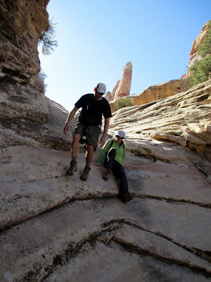 |
Keith and Melissa hiking down Elephant Canyon
|
 |
| Keith vs. rock |
The sunsets at our campsite were equally spectacular. We spent the evenings around the campfire with good food and beer checking out the stars. Orion is making his evening appearance on the eastern horizon - a definite sign that winter is here.
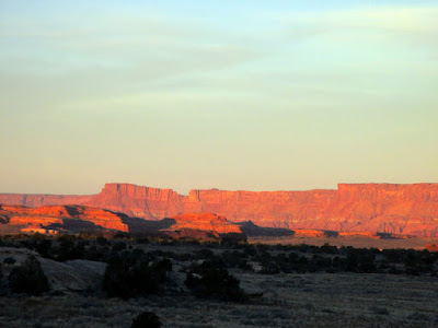 |
| Sunset over Canyonlands |
 |
| Sunset with the nearly full moon |
On Saturday we hiked the Peekaboo Trail to Salt Creek Canyon to see a large pictograph panel. I visited this panel several years ago when I backpacked Salt Creek Canyon with Rob and Jacob, but this was my first time hiking from Squaw Flat campground trail head to Salt Creek. The hike was spectacular and probably my new favorite within the park. The trail passed over the slick rock rims of Squaw and Lost Canyons before descending into Salt Creek. At times the trail was a little too close to the edge of the canyons, but it added a little spice and excitement to the hike.
 |
| On the Peekaboo Trail |
 |
| Descending into Salt Creek Canyon |
 |
| Keith and Melissa |
 |
Near Lost Canyon
|
The Peekaboo pictograph panel has art from both the Ancestral Puebloan period (around 1400 AD) and much older Barrier Style archaic period art from as far back as 3000 BC. The Ancestral Puebloan art is white and covers the faded red panel from the archaic period.
 |
| Peekaboo pictograph panel |
 |
| Peekaboo pictograph panel |
 |
| Faded red archaic period art visible |
 |
| Hand prints |
The Needles District of Canyonlands is definitely one of my favorite places to explore in Utah. Even though I have been to the area several times, each trip has new surprises and new experiences. The Peekaboo Trail was worth the trip alone, but the desert solitude and perfect weather made this trip absolutely amazing.
 |
| Looking toward Indian Creek |
 |
| Salt Creek Canyon |
 |
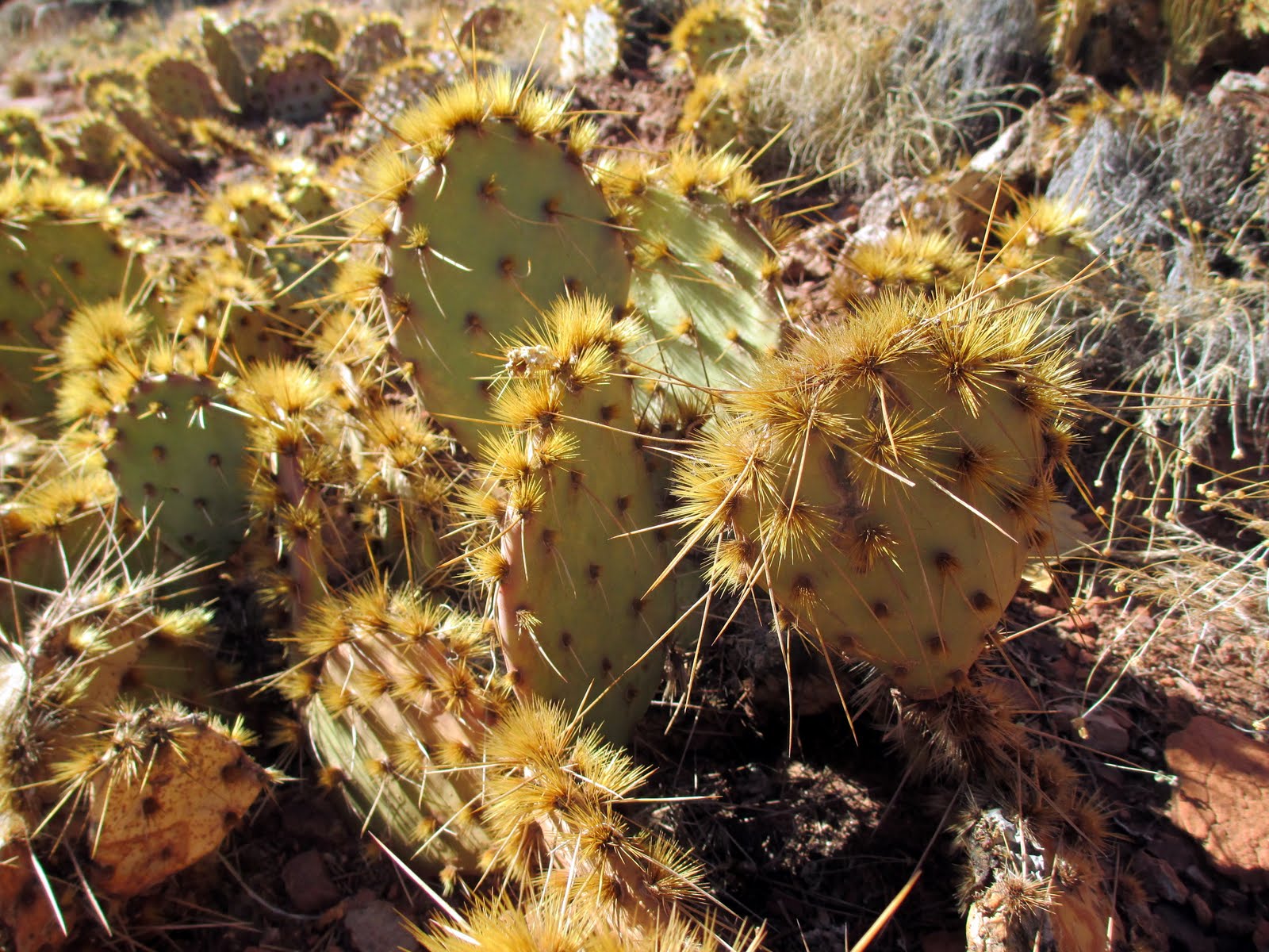
| Extra spiky cactus |
 |
| Ancestral Puebloan grainery |
On Sunday, we made our way back to Salt Lake City after packing up camp and enjoying the final views of the Needles. We stopped at Fisher Towers just east of Moab to do one quick hike and enjoy the sunshine before we headed home. Fisher Towers was the location of my
first winter camping experience, six years ago, over Thanksgiving. It was a great way to end this Thanksgiving adventure.
 |
| View from Fisher Towers |
 |
| Looking toward Castle Valley |
 |
| Fisher Towers |