I kept seeing the Facebook posts from Canyonlands National Park about the enormous amount of rain they had received over the past week. After checking their web page, I noticed that several roads within the park were closed or impassable, including the road to Mineral Bottom. This, unfortunately, was the access point for Wednesday's river trip through Stillwater and Labyrinth Canyons on the Green River. I knew my second attempt at these canyons was most likely a no-go before leaving Salt Lake.
As Roger and I drove through Green River on our way to Moab on Tuesday night, we were greeted with lightning and downpours. Things weren't looking good. We discussed the idea of sleeping at a hotel on Tuesday night before meeting with the river company on Wednesday morning, but skies cleared enough upon our arrival in Moab to convince us to sleep at Dead Horse Point State Park as planned.
 |
| It was late and we had to wake up early. We thought we could get away without setting up a tent, but we got rained on. |
We met with our river rental company on Wednesday morning to learn that Mineral Bottom was still impassable and that we could do an alternate trip from Potash to Spanish Bottom on the Colorado River instead. The trip was a similar length, about 50 miles, and was certainly better than not going at all. After a change of plans from kayaks to a canoe due to our large dry bags, we were on our way to Potash for launch.
 |
| Launching from Potash |
 |
| Roger enjoying the float |
 |
| Dead Horse Point from below |
We paddled for about 15 miles with surprisingly beautiful weather the entire day. It was great to see Dead Horse Point State Park above us as I have spent plenty of time staring down at the river from from that spot. By early evening we came across a fantastic beach to set up camp and had a perfect evening by the river with good food and a small fire. I couldn't believe how perfect our first day was considering the weather forecast looked stormy all week.
 |
| First night camp | | | |
 |
| First night camp | |
 |
| Roger enjoying dinner on the first night |
 |
| Perfect evening on the beach |
We broke camp on Thursday morning and headed out for day two on the river. We planned to paddle about 20 miles and enjoyed several miles of leisurely floating through the gorgeous red rock canyons before the storm clouds started to build. Just short of the 20 mile mark, we were hit with our first storm. While most of the intense precipitation passed just to our north, we pulled in to a small cove to wait out the worst of it. We were treated to some great waterfalls coming over the cliffs as the sun came out, and we found a great camping spot just beyond our intended stopping point for the day.
 |
| Day 2 on the river |
 |
| A good start to the second day |
 |
| Taking shelter from a storm |
 |
| Waterfall after the storm |
 |
| Camp for the second night |
 |
| Roger at camp |
Day three was to be our last day of paddling on the river, about 20 miles from camp to Spanish Bottom, with a journey through The Loop, The Slide and the Confluence. We enjoyable a leisurely float through the meandering Loop section of the Colorado River and an easy passage through the only "rapid" on this section of the river, The Slide. As the river company said, it was more like a ripple. We reached the confluence of the Green and Colorado Rivers just as a large thunderstorm passed over the Needles. Canoeing was rough for a bit, but we missed the majority of that storm as well. After a quick sign-in at the Cataract Canyon sign, we headed for Spanish Bottom a few miles downriver.
 |
| Paddling through The Loop |
 |
| Approaching the Confluence of the Colorado and Green Rivers |
 |
| Mixing of the Colorado and Green Rivers |
 |
| Waiting out the storm |
 |
| Spanish Bottom |
We set up camp on the left bank of the Colorado River at Spanish Bottom, just upstream from the mouth of Lower Red Lake Canyon. Camp sites along the more ideal right bank were occupied. When we arrived, Lower Red Lake Canyon was completely dry and we walked up it for a bit. We looked around for a good place to set up our tent and eventually decided to place it higher up on the river bank. The nicer, sandier beaches seemed a little to close to the water for comfort. As I was cleaning up for the night, under mostly sunny skies, I heard cracking and rumbling coming from above. The sound grew louder and louder and I realized that a flash flood was coming. I grabbed the canoe and bags and dragged them even higher up on the hill as a pile of mud and debris came roaring around the corner of Lower Red Lake Canyon. My first flash flood! Fortunately the flood remained within the banks of the wash and never threatened our camp, but it made for great viewing that night.
 |
Lower Red Lake Canyon as the Friday night flood flows. It was dry a few minutes earlier.
|
It was an uncomfortable night for sleeping on Friday night. I kept waking up to check the status of the flood but throughout the night the water level continued to fall. Unfortunately, a few brief but intense thunderstorms rolled through Spanish Bottom with uncomfortably close lightning and echoing thunder throughout the night. I think I finally fell asleep around 5am as everything calmed down and the flood had subsided. On Saturday morning we decided to canoe over to the right bank of Spanish Bottom for jetboat pick up because the water was too shallow near our campsite.
 |
| We canoed over the the right bank of Lower Spanish Bottom on Saturday morning for jet boat pick up |
 |
Waiting for the jetboat
|
We thought our adventure was over as we waited for the jetboat to pick us up at Spanish Bottom. Suddenly, we were surrounded by black clouds. Pick up time passed and no jetboat. The skies opened up and water began pouring off the surrounding cliffs and through the area that we were standing. As I was hiding in the bushes from the lightning, a massive flood broke through Lower Red Lake Canyon and began to fill the Colorado River with debris and newly formed rapids. Four kayakers who camped near us on Friday night were suddenly trapped on an island created by this new flood. Fortunately, two park rangers on a motorized raft saw this happening and went to their aid. At this chaotic moment, the jetboat (finally) arrived. We threw our bags and gear in the boat but the four women trapped on the other bank with the rangers were also part of our pickup and they could not be reached. It was getting late and the Colorado was filled with rapids and debris. It looked like we'd be spending another night at Spanish Bottom.
 |
| Flood coming off the Maze District |
 |
| More rain in Spanish Bottom |
 |
| Flood coming out of Lower Red Lake Canyon |
Once it became apparent that we were spending the night, we set up camp, ate our extra food, and went to sleep. I was stressed about the river eroding the bank below us and the sound of rockfalls throughout the night made for another uncomfortable night of sleep. The river company sent a motorized raft to rescue the four women from the other bank and bring them to our camp in the morning. The plan was to jet boat back to Moab by late morning once the women and their gear were pulled from the other side of the river. We had a couple of hours to kill, so Roger and I decided to hike from Spanish Bottom up to the Doll House in the Maze District of Canyonlands National Park. A trip to the Maze has been on the top of my to-do list forever and I was excited to get a brief taste of this remote area. The hike provided amazing views of Spanish Bottom and the mist and clouds made everything feel surreal. I was so happy we were stranded for the night so that we could do this hike!
 |
| Roger hiking up to the Doll House in the Maze District of Canyonlands National Park |
 |
| View of Spanish Bottom from above |
 |
| Mist and clouds |
 |
| My first taste of the Maze |
 |
| The Doll House - Maze District of Canyonlands National Park |
 |
| The Doll House - Maze District of Canyonlands National Park |
 |
| With Roger in the Doll House |
 |
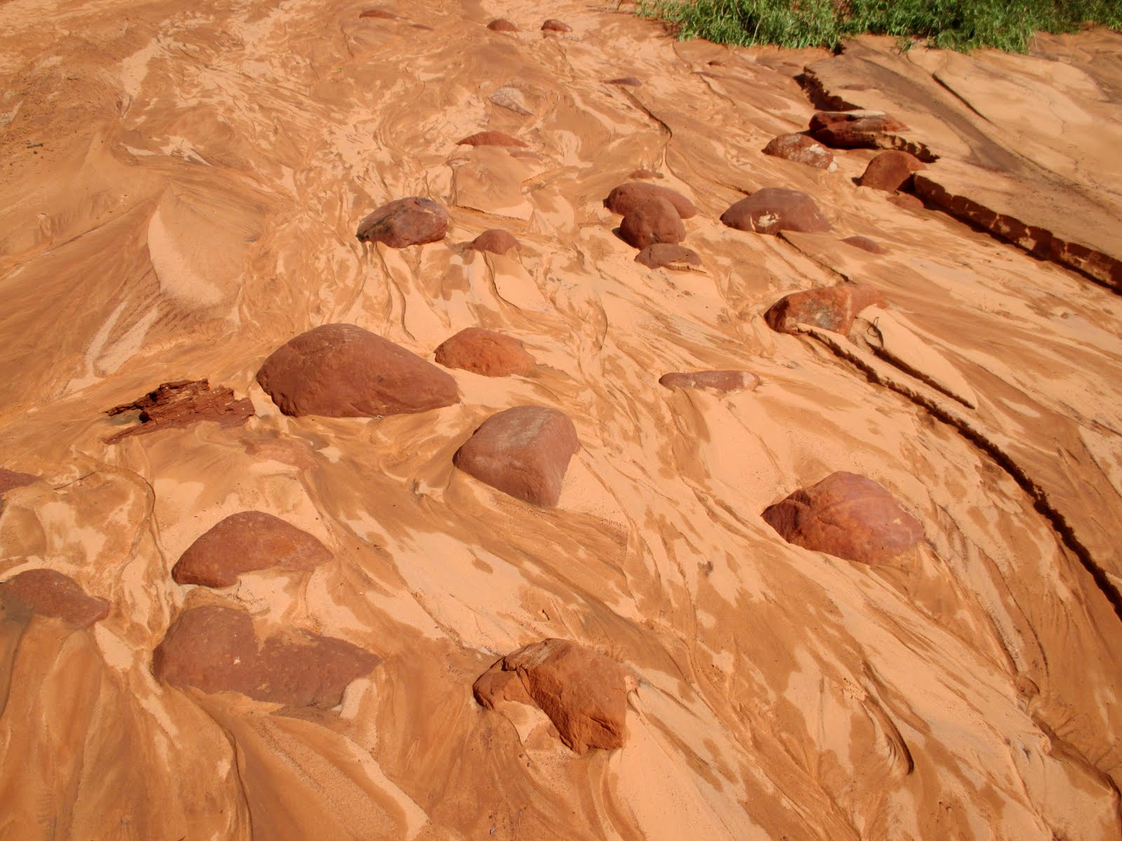
| Debris from Lower Red Lake Canyon after the flood |
The jetboat ride back to Moab was another fiasco. Just a few miles upriver, our jet boat broke down (again) due to the large amount of debris still floating in the Colorado. There didn't seem to be much of a backup plan and I was beginning to think we'd be spending another night stranded on the river. A Tex's Riverways jetboat passed us and stopped to ask if we needed assistance. In less than one millisecond, Roger was leaping over to their boat with me in tow and a couple of our small bags. We figured we'd deal with the remaining gear at some point, but showers, food, and beer were waiting for us in Moab! Tex's was awesome for helping us out and we made it back to Moab in no time. Showers, food, beer, but no gear. By 6pm we learned that I gear would be on the river until Monday. There were no rooms in Moab, so we spent the night in Green River and picked up our gear Monday morning before heading back to Salt Lake. It was an awesome adventure full of the unexpected, as the best always are.
 |
Thank you, Tex's Riverways!
|